Our Service
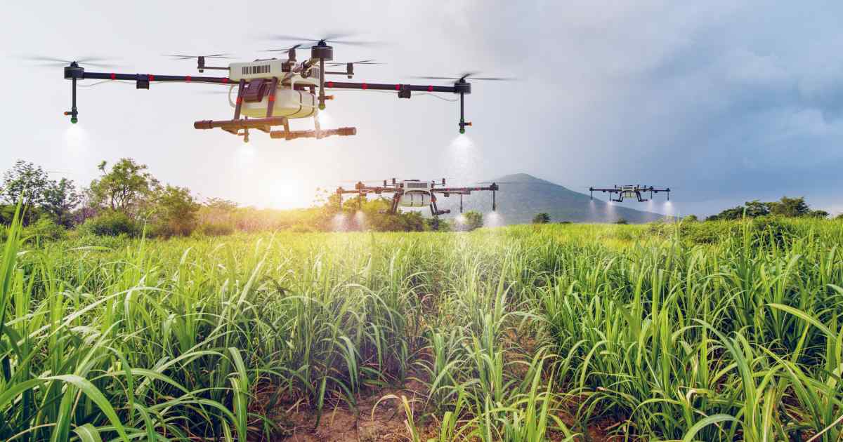
Agriculture (Agri-Tech)
Crop Health Assessment, High-Density Field Mapping, and Drone-based Yield Prediction1
Enables early, localised intervention for pest/disease management, reducing overall pesticide use2. Provides scalable, non-invasive data collection for improved yield prediction and resource allocation3.
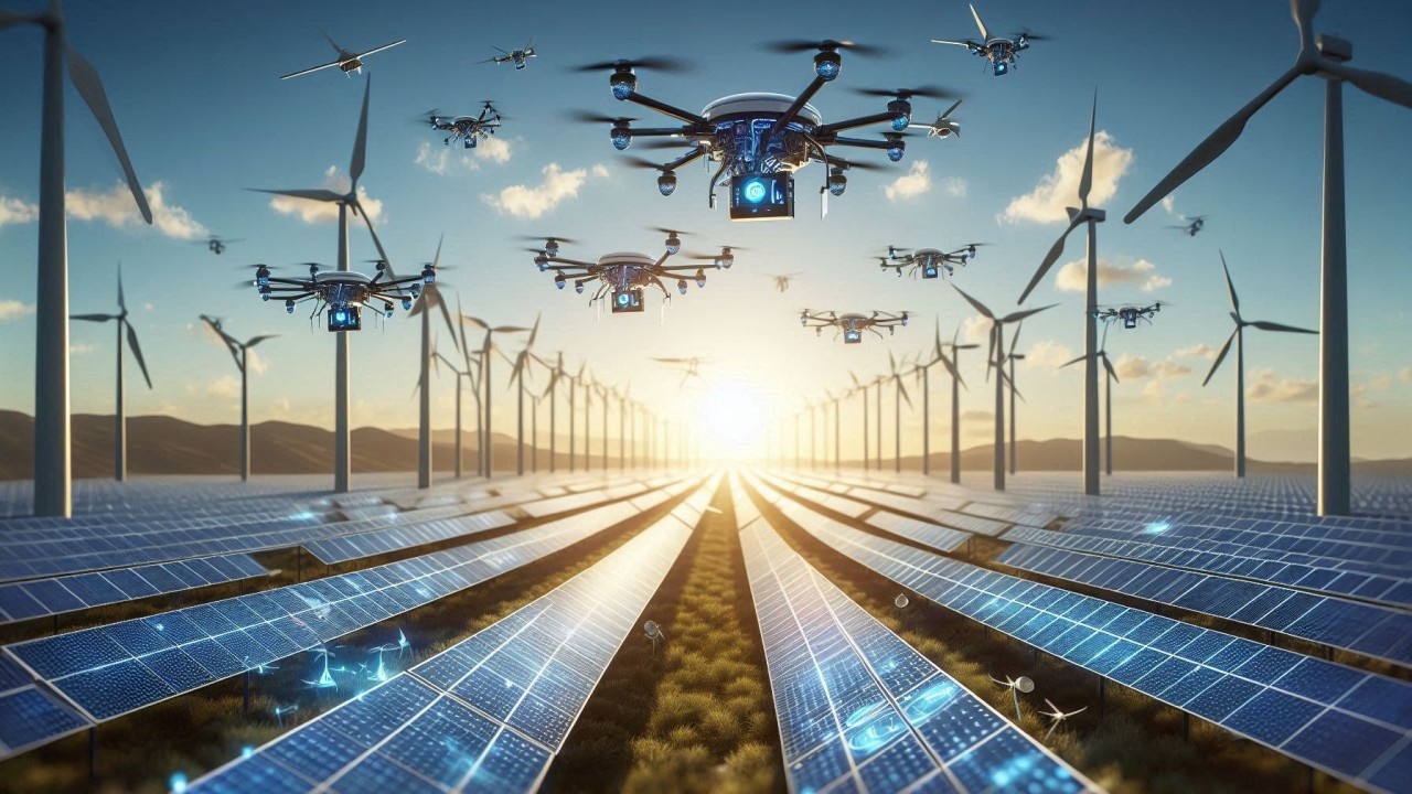
Environmental & Utilities
Infrastructure Integrity Monitoring, Large-Scale Aerial Asset Inspection (Pylons, Pipelines, Solar Farms)
Accelerates preventative maintenance cycles and avoids costly, high-risk human inspections in hard-to-reach areas12. Prevents environmental and safety incidents through proactive asset monitoring13.
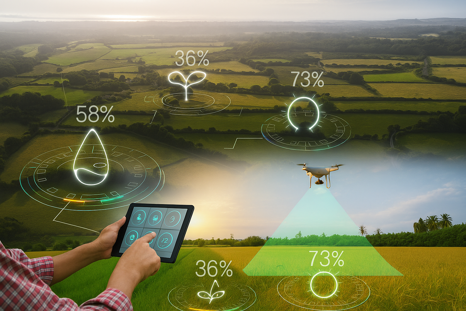
Land Management
Real-Time Intelligence in Remote Environments
The EcoSphere Edge Platform delivers significant value to Land Management by shifting complex, data-intensive analysis from a slow, central server to the devices themselves (the drone or the handheld scanner). This capability is revolutionary for managing large, remote, and often unconnected land assets, such as agricultural fields, protected forests, pipelines, and utility corridors.

Contact Information
To start your journey with us, please